使用期限*
许可形式单机版
原产地美国
介质下载
适用平台Windows
科学软件网专注提供科研软件。截止目前,共代理千余款,软件涵盖各个学科。除了软件,科学软件网还提供课程,包含34款软件,66们课程。热门软件有:spss,stata,gams,sas,minitab,matlab,mathematica,lingo,hydrus,gms,pscad,mplus,tableau,eviews,nvivo,gtap,sequncher,simca等等。
Other Improvements
COMPOSER – now adds PNG output of compositions with lossless compression. In addition, COMPOSER offers the ability to save compositions at resolutions higher than screen resolution.
MACRO MODELER – added logic operations GT (>), GTE (>=), LT (<), LTE (<=), AND, OR, XOR, NOT, EQ (=), NEQ (<>).
A wide variety of hotkeys have been added to facilitate user interaction. In addition, the user has the ability the customize the hotkey assignments.
GDAL conversion utility – adds batch import, and has been updated to GDAL Version 2.4.1
In addition to the above, many improvements have been made to the speed of existing modules through a combination of bit versions (TerrSet automatically switches depending on your operating system), algorithm changes and multithreading.
Code signing certificates have been added to every module to enhance system security.

土地变更建模(LCM):垂直应用于分析土地覆盖变化,实证建模与解释变量的关系和预测未来的变化。LCM还包括评估REDD(减少森林砍伐和森林退化造成的排放)气候变化减缓战略的工具。
栖息地和生物多样性建模(HBM): 垂直应用于生境评估、景观格局分析和生物多样性建模。HBM还包含用于物种分布建模的工具。
GeOSIRIS:与国际保护组织密切合作开发的REDD规划的特工具。通过GeOSIRIS,我们可以模拟各种经济策略对森林砍伐和碳减排的影响。
生态系统服务建模(ESM): 用于评估各种生态系统价值的垂直应用程序。
系统需求
TerrSet是一个面向对象的系统,在Microsoft Windows操作平台上使用的级软件。
● Windows 7 and above, or Windows Server 2003 or later
● Microsoft ACE 2010 or Microsoft Office 2010 or later
● 1.3 GB hard drive space for application
● 7.4 GB hard drive space for tutorial data
● 4 GB RAM, 8 GB or greater recommended
● HD display (1920×1080) or greater recommended

MCE – The Multi-Criteria-Evaluation procedure now adds automatic sensitivity analysis to gauge the sensitivity of factors to changes in the factor weights.
POLY2LINE – converts polygons files to line files.
PROJECT adds support for Cylindrical Equal Area, and has improved speed with some options.
Database Workshop now supports tab delimited files as well as import of .xlsx files (in addition to .xls files). It also provides the ability to handle .csv and .txt files with a header row.

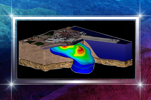
Ecosystem Services Modeler (ESM) 与自然资本项目开发的投资工具密切相关。实施了15种生态系统服务模式。在本图中,ESM用于评估2*马萨诸塞州的产水量和缺水情况。预测的土地覆盖输入由陆地变化建模生成,预测的降水量由陆地气候变化适应建模生成。水量输出用于计算2*次级流域的水电潜力。
完整的TerrSet功能
GIS分析系统: GIS分析的基础分析工具,主要面向光栅数据。GIS分析工具集的功能包括一套多标准和多目标决策程序,以及用于统计、变化和表面分析的广泛工具。还提供了用于动态建模和决策支持的图形化建模环境。GIS分析工具集提供了脚本环境和较其灵活的应用程序编程接口(API),允许使用C++、Delphi和Python等语言控制TerrSet。实际上,所有TerrSet组件都广泛使用了API。
图像处理系统: 一套广泛用于遥感图像恢复、增强、转换和分类的程序。Terrset中的图像处理系统包含了行业内广泛的分类流程,包括基于机器学习(如网络)和统计表征的软硬分类流程。
科学软件网不定期举办各类公益培训和讲座,让您有更多机会免费学习和熟悉软件。
http://turntech8843.b2b168.com