使用期限*
许可形式单机版
原产地美国
介质下载
适用平台Windows
科学软件网提供的软件覆盖各个学科,软件数量达1000余款,满足各高校和企事业单位的科研需求。此外,科学软件网还提供软件培训和研讨会服务,目前视频课程达68门,涵盖34款软件。
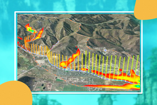
TerrSet is an integrated geospatial software system for monitoring and modeling the earth system for sustainable development. The TerrSet system incorporates the IDRISI GIS Analysis and IDRISI Image Processing tools along with a constellation of vertical applications. TerrSet offers the most extensive set of geospatial tools in the industry in a single, affordable package. There is no need to buy costly add-ons to extend your research capabilities.

TerrSet软件功能
•IDRISI GIS分析
IDRISI GIS工具集提供了300多种分析工具,主要面向光栅数据,用于操作地理空间数据集,以探索我们快速变化的世界。
•IDRISI图像处理
TerrSet 的IDRISI图像处理系统是一套广泛的遥感图像恢复、增强、变换和分类的系统。
•土地变化模型
土地变化模型(LCM)是一种创新的土地规划和决策支持软件工具,用于土地变化分析和预测,具有REDD项目级建模的功能。
•栖息地和生物多样性模型
栖息地和生物多样性模型(HBM)是用于栖息地评估、景观格局分析和生物多样性建模的垂直应用程序。
The IDRISI Image Processing System in TerrSet is an extensive set of procedures for image restoration, enhancement, transformation and classification of remotely sensed imagery.

TerrSet Explorer
Facilitates the display of color composites made from separate bands. Select any three bands, right click and choose the option to display as a color composite. Now supports deletion to the recycle bin (default) or permanent deletion (shift-delete)

GeOSIRIS
GeOSIRIS is a tool that quantifies and maps the impacts of national-level REDD projects on deforestation, carbon emissions, agricultural revenue, and carbon payments.
科学软件网不定期举办各类公益培训和讲座,让您有更多机会免费学习和熟悉软件。
http://turntech8843.b2b168.com