使用期限*
许可形式单机
原产地美国
介质下载
适用平台windows
北京天演融智软件有限公司(科学软件网)前身是北京世纪天演科技有限公司,成立于2001年,专注为国内高校、科研院所和以研发为主的企事业单位提供科研软件和服务的国家。
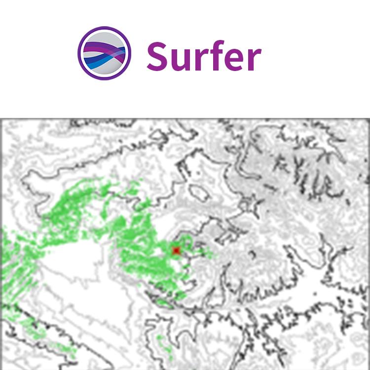
Surfer 具有的强大插值功能和绘制图件能力,使它成为用来处理XYZ数据的软件,是地质工作者*的成图软件。可以轻松制作基面图、数据点位图、分类数据图、等值线图、线框图、地形地貌图、趋势图、矢量图以及三维表面图等;提供11种数据网格化方法,包含几乎所有流行的数据统计计算方法;提供各种流行图形图像文件格式的输入输出接口以及各大GIS软件文件格式的输入输出接口,大大方便了文件和数据的交流和交换;提供新版的脚本编辑引擎,自动化功能得到较大加强。
做出有意义的决策
使用Surfer的地理处理工具解答您的问题。处理数据并分析它们之间的关系。缩小感兴趣的区域,**重要的交叉点,或者对基础数据进行数学计算以做出明智的决定。
Surfer处理工具
使用方便的属性表查看、创建、编辑和对象属性
处理Delaunay三角
重塑、简化、平滑折线、多边形和网格
围绕创建点、折线和多边形缓冲区
多边形和折线之间的转换
通过合并现有多边形创建多边形
在相交区域创建点和多边形
在点连接或破折线
合并和分割岛屿
地理参考图像
Surfer符号
根据属性值应用行、填充和 符号属性
图例中显示符号
基于特的值选择符号,未归类的颜色和符号和归类的颜色和符号。

Model Data in Multi-Dimensions
Gain deeper insights into your data when viewed in three-dimensional space. Surfer’s 3D viewer makes it easy to model, analyze, and understand all aspects of your data. Switching between Surfer’s 2D and 3D perspectives ensures you discover all of your data’s patterns and trends.
Achieve a 360⁰ Perspective
View point data and surfaces in true 3D space
Rotate your map
Walk along the surface
Adjust the vertical exaggeration
Add X, Y or Z axes to gain a frame of reference
Note the X, Y or Z position of the cursor in the status bar
Create and record fly-through videos to share with others
Export the model to an image file, like JPG, TIF or PNG
Copy the display and paste it into reports and presentations

Surfer坐标系统特点
**过2500个预定义的坐标系统
创建自定义坐标系统
搜索坐标系统的名称或EPSG数
投影坐标系统
**过80个椭圆体
**过45个预定义线性单元
创建自定义线性单元
添加坐标网格线来查看地图上不同的坐标系统
完全兼容
无缝地可视化和分析来自多个数据源的数据,Surfer可读取大量的文件格式,包括SHP,DXF和XLSX。Surfer还支持所有流行的输出格式,广泛的数据管理工具可供您完全兼容。
自信协作
*与同事、利益相关者和客户分享您的工作。Surfer模型具备了高质量输出格式,包括PDF或TIF用来印刷出版。或者,将您的工作与Web兼容的格式(如JPG或PNG)共享。如果您正在准备演示文稿,只需复制和粘贴您的地图或模型到演示工具,如微软PowerPoint或Word。
智能工作,轻松自动化
不用浪费时间反复做同一个过程。创建脚本来自动重复或重复出现的任务。可以从任意自动兼容的程序语言,如C, Python或Perl中调用Surfer。Surfer还可以过渡到Scripter中,一个内置的兼容Visual Basic的脚本工具。自动化节省时间,通过Surfer Automation Knowledge Base*量的脚本示例可以节省更多的时间。
系统要求
• Windows 7, 8 (excluding RT), 10 or higher
• 32-bit and 64-bit operation system support
• 1024x768 or higher monitor resolution with minimum 16-bit color depth
• At least 500 MB free hard disk space
• At least 512 MB RAM

Surfer适用的行业包括
农业
考古
建筑
教育
能源
环境
勘探
地球物理
程
地热
地理信息系统
海事
军事
采矿
泥浆录井
石油与天然气
可再生能源
无人机
公共事业
水利
创建的地图
轻松沟通简单和复杂的空间数据。Surfer提供创建高质量地图工具,可以清楚的向同事、客户和利益相关者传统信息。
Use Data in Date/Time Format
Visualize your data with respect to time! Surfer 12 supports dates and times as v alid data. This means you can use dates and times as a data variable for gridding, for creating post maps, and you can format data in the workshe et or text labels in multiple date and time formats.
< span>
Grid and Display Maps with Logarithmic Z Scale
Effectively display Z data that range over s everal orders of magnitude! You can grid data taking the log of the Z value prior to gridding, choose to have logarithmically scaled contour levels, or h logarithmic scaling applied to the color scale. This is extremely useful when your data file has extreme data ranges, such as concentration data where t he Z values can span multiple orders of magnitude (i.e. >1 to<20000).
2020年,北京天演融智软件有限公司申请高等教育司产学合作协同育人项目,“大数据”和“机器学习”师资培训项目,以及基于OBE的教考分离改革与教学评测项目已获得批准。我们将会跟更多的高校合作,产学融合协同育人。
http://turntech8843.b2b168.com