使用期限*
许可形式单机
原产地美国
介质下载
适用平台windows
科学软件网是一个以引进国研软件,提供软件服务的营业网站,网站由北京天演融智软件有限公司创办,旨在为国内高校、科研院所和以研发为主的企业事业单位提供的科研软件及相关软件服务。截止目前,科学软件网已获得数百家国际软件公司正式授权,代理销售科研软件达一千余种,软件涵盖领域包括经管,仿真,地球地理,生物化学,工程科学,排版及网络管理等。同时,还提供培训、课程(包含34款软件,66门课程)、实验室解决方案和项目咨询等服务。
New Automatic Polygon Clipping – All gridding and solid modeling programs now include an option for clipping the model based on an automatically-defined convex polygon defined by the control points, analogous to stretching a rubber band around the boreholes.
Clip Grid Models using polygons in a table or a map.
New Spatial Filtering – All programs that involve coordinates now include a spatial filtering option so that subsets (including zones between surfaces) can be selectively analyzed/modeled.
New Time-based filtering options have been added to the Hydrochemical utilities (i.e. Durov Diagrams, Piper Diagrams, Stiff Diagrams and Stiff Maps) as well as any programs that might include striplogs (in order to filter water levels and/or T-Data).
Create a depth to target grid model for specified values in a solid model.
Calculate where two grids intersect, such as a water table and surface topography.
Import 5 meter DEMs to a RockWorks grid model.
Create a solid model in which the voxel values between two surface model grids are defined by another grid (e.g. ore grades).

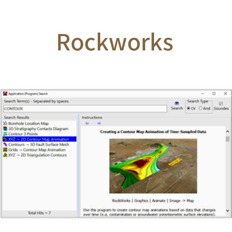
RockWorks是创建二维和三维地图、日志和断面的地质模型、量报告以及一般地质图为环境、程、采矿和石油工业的综合软件程序。RockWorks是石油、环境、岩土和采矿业的标准软件,用于地表和地下数据可视化,包括地图、原木、横断面、栅栏图、实体模型和体积计算等常用工具。
RockWorks为分析地表和地下数据提供多种选项,并接受不同的文件类型,如地层、岩性、井下地球化学/地球物理学/岩土测量、颜色间隔、裂缝和含水层数据等。内置的2D和3D查看/编辑窗口的RockWorks graphic output可导出图形,或导出到CAD、Google Earth和GIS程序中。使用ReportWorks模块可为报表和海报生成页面布局。

Reporting Features
Create a report that lists the change in mass of a contaminant over time, from a list of time-specific geochemical solid models.
Restrict graphs and reports for subsurface quantitative data based on lithology types or stratigraphic units.
Output a list of files/entries in the Project Manager.
New report formatting and export options.

Import faults from a variety of sources, including:
Lines and polylines in the RockWorks datasheet or drawn on a map
XYZ points, dip direction, dip angle, and up/down projection distances listed in the datasheet
XYZ triangles in the datasheet
RockWorks grids
RockWorks17 fault tables and fault files
Transfer faults between projects, import/export to Excel and text
2020年,北京天演融智软件有限公司申请高等教育司产学合作协同育人项目,“大数据”和“机器学习”师资培训项目,以及基于OBE的教考分离改革与教学评测项目已获得批准。我们将会跟更多的高校合作,产学融合协同育人。
http://turntech8843.b2b168.com