使用期限*
许可形式单机
原产地美国
介质下载
适用平台windows
科学软件网提供的软件覆盖各个学科,软件数量达1000余款,满足各高校和企事业单位的科研需求。此外,科学软件网还提供软件培训和研讨会服务,目前视频课程达68门,涵盖34款软件。
Surfer 2D/3D测绘、建模分析软件
可视化数据
使用Surfer广泛的建模工具以正确的方式显示数据,同时保持准确性和性。用Surfer可以明确的传达您的信息。
LiDAR点云
LiDAR在许多领域,包括考古学、测量学、地理信息系统等成为越来越流行的数据收集方法。使用Surfer广泛的激光处理和可视化功能,利用LiDAR提供的所有优势。
LiDAR点云功能
从多个LAS/LAZ文件中创建一个点云
通过高程、强度、返回数或分类来分配颜色
交互式或按标准选择点
、重分类或删减来选择点
从点云中创建网格或导出到LAS/LAZ
在3D视图中可视化数据的所有方面
Surfer的LAS/LAZ过滤选项
基于XY边界或高程数据限制的空间滤波
导入每个Nth点
只导入期望的返回类型或分类值
用源ID导入数据
标志过滤器,如扫描方向、飞行边缘,或合成、关键和保留点。
Export Map and Drawn Objects in One Step
Save time! Exporting map and non-map objects got a lot easier. No more complicated two-step export process. Now, simply specify the map as the scaling source when exporting your entire project to a vector or georeferenced image file– it’s that easy!

Create grid files directly from contour polylines
Grid to convex hull
Duplicate handling
Cross validation
Control over output geometry and resolution
Limit or clamp z-values
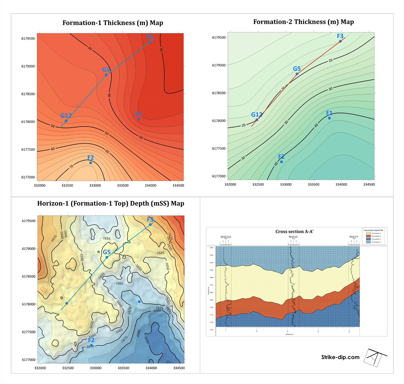
分析数据
用Surfer众多的分析工具深度分析您的数据。调整插值和网格参数,评估数据与函数空间的连续性,定义故障和断线,或执行网格计算,如卷、变换、平滑或滤波。Surfer快速将数据转化为知识。

Grid Data with Certainty
Have complete confidence in the accuracy of your model. Surfer provides numerous interpolation methods to grid regularly or irregularly spaced data onto a grid or raster, and each interpolation method provides complete control over gridding parameters. Plus, no time is wasted with multithreaded gridding!
科学软件网不仅提供软件产品,更有多项附加服务免费提供,让您售后**!
http://turntech8843.b2b168.com