使用期限*
许可形式单机和网络版
原产地美国
介质下载
适用平台windows
科学软件网提供大量正版科学软件,满足各学科的科研要求。科学软件网专注软件销售服务已达19年,全国大部分高校和企事业单位都是我们的客户。同时,我们还提供本地化服务,助力中国的科研事业。
helps you quickly perform geostatistical analysis
creates variograms on the fly
provides 11 different autocorrelation measures
imports data from a wide variety of sources
summarizes your data prior to geostatistical analysis
provides kriging, conditional simulation and nearest neighbor interpolations
creates output files usable by a wide variety of other programs
performs cross-validation to test your interpolation system against sampled data
allows you to customize all graph and map details and publish to anywhere

Dynamic Variogram / Semivariogram Modeling – GS+ can calculate model parameters for 5 types of variogram / semivariogram models based on least squares (residuals) analysis, or individual model parameters can be specified directly by the user.

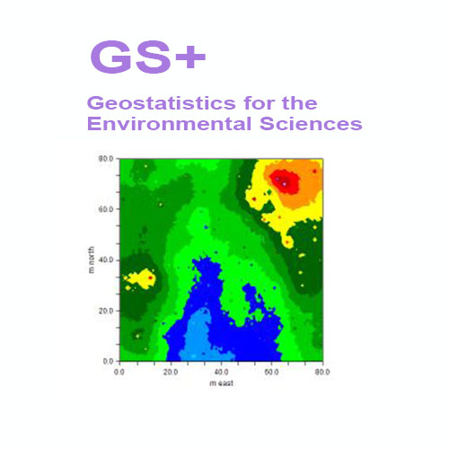
Geostatistics is a class of statistical techniques developed to analyze and predict values of a variable distributed in space or time. It begins with a type of autocorrelation analysis called variography or semivariance analysis, in which the degree of self-similarity is displayed as a variogram. The variogram model is used to predict unsampled locations by kriging or conditional simulation, which produces estimates of the variable across the entire spatial or temporal domain

What's new in Version 10:
geostatistics software mapping
科学软件网的客户涵盖产品涵盖教育、、交通、通信、金融、保险、电力等行业,并且为诸如北京大学、*大学、中国大学、中科院、农科院、社科院、环科院、国家、交通部、南方电网、国家电网、许继、南瑞等国内大型企事业单位、部委和科研机构长期提供相关产品。我们的品质,值得您信赖。
http://turntech8843.b2b168.com