使用期限*
许可形式单机
原产地美国
介质下载
适用平台windows
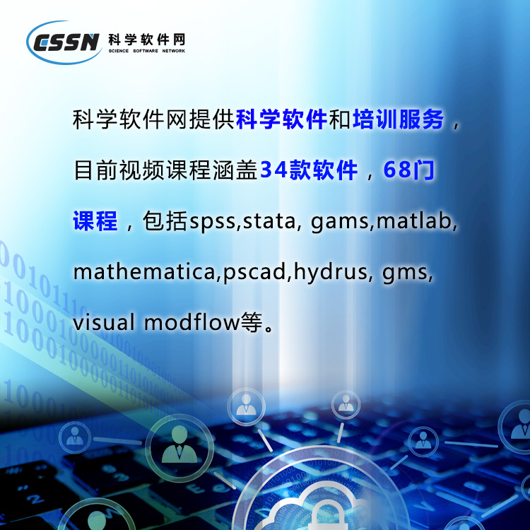
科学软件网提供的软件覆盖各个学科,软件数量达1000余款,满足各高校和企事业单位的科研需求。此外,科学软件网还提供软件培训和研讨会服务,目前视频课程达68门,涵盖34款软件。
MapViewer 专题制图与空间分析软件
数据可视化
充分利用您的数据。利用MapViewer丰富的专题制图和空间分析特征快速生成出版物质量图。区分数据中的模式和趋势,了解空间关系,并为客户和利益相关者提供他们需要的信息。
分析数据
为您准备数据。MapViewer为您提供了可视化和分析数据地理分布的工具,这样您就可以自信地做出决策。找到提率、创新和盈利能力的机会。MapViewer将您的数据转换为有价值的信息。
understand demographics define sales or insurance territories outline marketing strategies
track population trends show ecological distribution display any geographically distributed data
With MapViewer, you are not limited to the boundaries and data included in the program. You can import boundary files and data files in a number of formats to create truly customized maps!

数据可视化
充分利用您的数据。利用MapViewer丰富的专题制图和空间分析特征快速生成出版物质量图。区分数据中的模式和趋势,了解空间关系,并为客户和利益相关者提供他们需要的信息。

功能
创建的专题地图
控制您的空间数据。MapViewer强大的映射能力将空间数据转换为信息主题地图。灵活的地图显示、即时定制和分析使MapViewer成为GIS分析师、业务人员和任何处理空间分布式数据的人的工具。

Analyze Data
Put data to work for you. MapViewer gives you tools to visualize and analyze the geographic distribution of your data so you can make decisions with confidence. Locate opportunities to drive efficiency, innovation, and profitability. MapViewer turns your data into valuable information.
,专注,专心是科学软件网的服务宗旨,开发的软件、传递*的技术、提供贴心的服务是我们用实际行动践行的**目标,我们会为此目标而不懈努力。
http://turntech8843.b2b168.com