使用期限*
许可形式单机
原产地美国
介质下载
适用平台windows
科学软件网是一个以引进国研软件,提供软件服务的营业网站,网站由北京天演融智软件有限公司创办,旨在为国内高校、科研院所和以研发为主的企业事业单位提供的科研软件及相关软件服务。截止目前,科学软件网已获得数百家国际软件公司正式授权,代理销售科研软件达一千余种,软件涵盖领域包括经管,仿真,地球地理,生物化学,工程科学,排版及网络管理等。同时,还提供培训、课程(包含34款软件,66门课程)、实验室解决方案和项目咨询等服务。
Grid Data with Certainty
Have complete confidence in the accuracy of your model. Surfer provides numerous interpolation methods to grid regularly or irregularly spaced data onto a grid or raster, and each interpolation method provides complete control over gridding parameters. Plus, no time is wasted with multithreaded gridding!

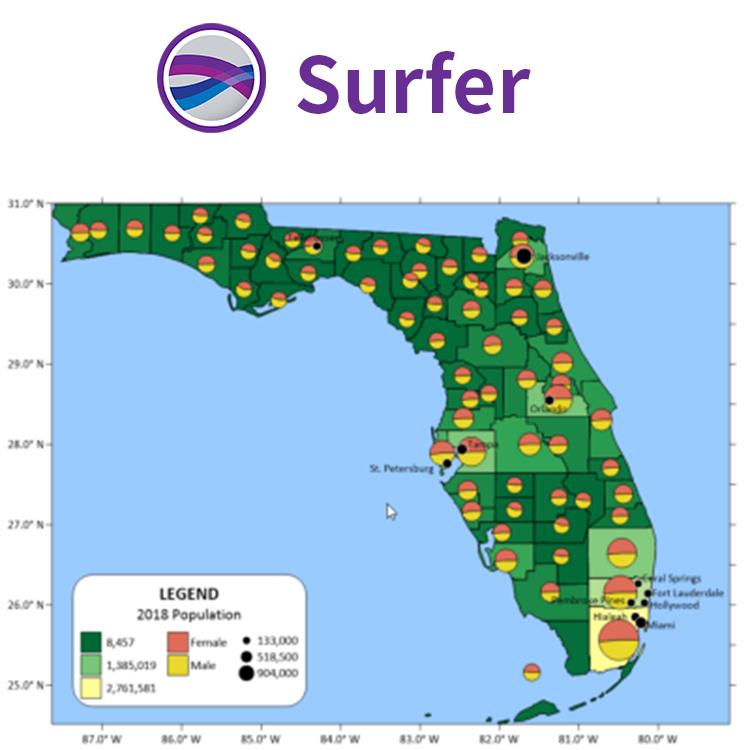
Surfer符号
根据属性值应用行、填充和 符号属性
图例中显示符号
基于特的值选择符号,未归类的颜色和符号和归类的颜色和符号。
即时访问联机数据
Surfer可以让您立即获得**航空影像、开放的街道地图图像、**矢量数据和地形数据如果您有自己喜欢的数据服务器或访问私有数据服务器,请为该数据源包含一个自定义链接以方便访问。Surfer可以很*地访问在线数据的剩余部分。
支持的服务器类型:
网络地图服务器(WMS)
开放的街道地图服务器(OSM)
网络覆盖服务器(WCS)
网络功能服务器(WFS)
与所有坐标系统无缝地协同工作
您的工作是将数据转换为有价值的可视化,而Surfer的功能是将您的工作变得更简单。Surfer轻松管理未引用的数据和数据在不同的多坐标系统投影。
Export all your data! Export a contour map to MIF, SHP, GSB, GSI, BLN or BNA file formats and the Z values are stored as metadata. In addition,when exporting a contour map to KML file, the Z values of the contours are saved as the Object ID for the polyline objects.

Surfer's LiDAR Point Cloud Features
Create a point cloud from multiple LAS/LAZ files
Assign color by elevation, intensity, return number, or classification
Select points interactively or by criteria
Remove, reclassify or crop to selected points
Create a grid from the point cloud or export to LAS/LAZ
Visualize all aspects of the data in the 3D view

Grid Data with Certainty
Have complete confidence in the accuracy of your model. Surfer provides numerous interpolation methods to grid regularly or irregularly spaced data onto a grid or raster, and each interpolation method provides complete control over gridding parameters. Plus, no time is wasted with multithreaded gridding!
Surfer Gridding Methods
Kriging
CoKriging
Inverse Distance
Minimum Curvature
Natural Neighbor
Triangulation with Linear Interpolation
Nearest Neighbor
Local Polynomial
Polynomial Regression
Data Metrics
Radial Basis Function
Modified Shepard's Method
Moving Average
科学软件网为全国大多数高校提供过产品或服务,销售和售后团队,确保您售后**!
http://turntech8843.b2b168.com