使用期限*
许可形式单机
原产地美国
介质下载
适用平台windows
科学软件网提供的软件上千款,涉及所有学科领域,您所需的软件,我们都能提供。科学软件网提供的软件涵盖领域包括经管,仿真,地球地理,生物化学,工程科学,排版及网络管理等。同时,还提供培训、课程(包含34款软件,66门课程)、实验室解决方案和项目咨询等服务。
Immediate Access to Online Data
An abundance of data is at your fingertips waiting to be visualized. Surfer gives you immediate access to worldwide aerial imagery, Open Street Map imagery, worldwide vector data, and terrain data. If you have your own favorite data servers or access to a private data server, include a custom link to that source for easy access. Surfer makes it easy to access the surplus of online data.
Supported server types:
Web mapping server (WMS)
Open Street Map server (OSM)
Web coverage server (WCS)
Web feature server (WFS)

Surfer Gridding Methods
Kriging
CoKriging
Inverse Distance
Minimum Curvature
Natural Neighbor
Triangulation with Linear Interpolation
Nearest Neighbor

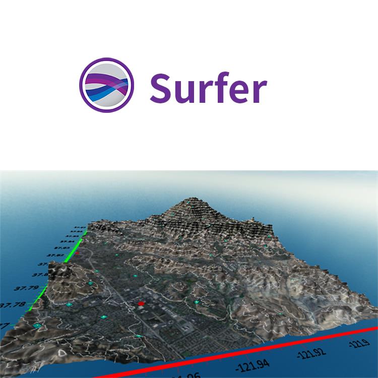
Model Data in Multi-Dimensions
Gain deeper insights into your data when viewed in three-dimensional space. Surfer’s 3D viewer makes it easy to model, analyze, and understand all aspects of your data. Switching between Surfer’s 2D and 3D perspectives ensures you discover all of your data’s patterns and trends.
Achieve a 360⁰ Perspective
View point data and surfaces in true 3D space
Rotate your map
Walk along the surface
Adjust the vertical exaggeration
Add X, Y or Z axes to gain a frame of reference
Note the X, Y or Z position of the cursor in the status bar
Create and record fly-through videos to share with others
Export the model to an image file, like JPG, TIF or PNG
Copy the display and paste it into reports and presentations

Make Meaningful Decisions
Get answers to your questions with Surfer’s geoprocessing tools. Process your data and analyze relationships. Narrow down areas of interest, highlight important intersections, or perform mathematical calculations on the underlying data to make informed decisions.
科学软件网不定期举办各类公益培训和讲座,让您有更多机会免费学习和熟悉软件。
http://turntech8843.b2b168.com