使用期限*
许可形式单机
原产地美国
介质下载
适用平台windows
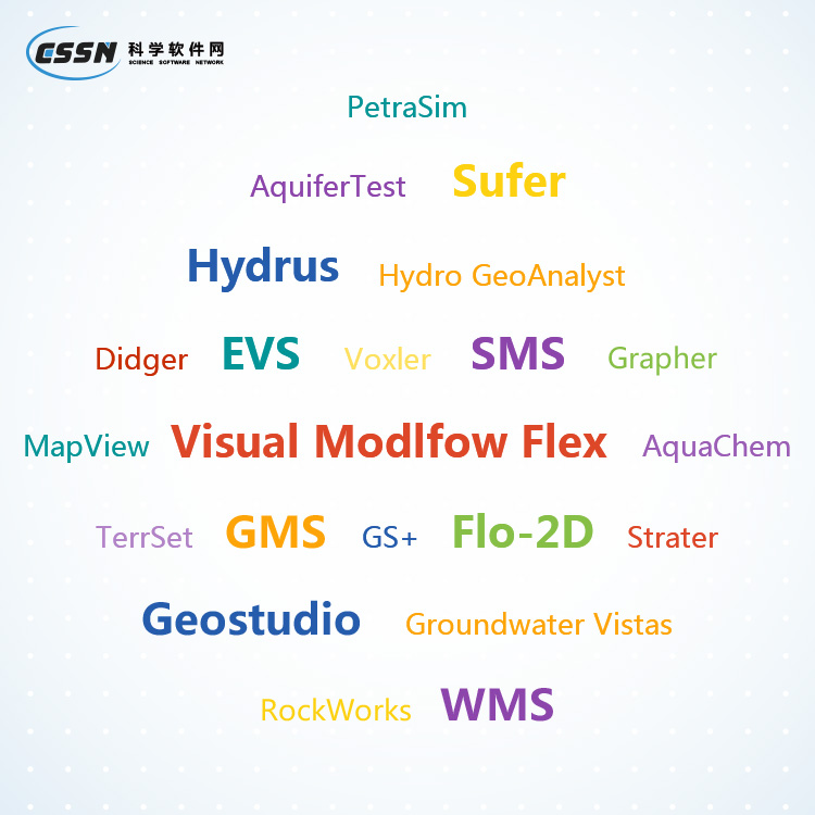
科学软件网提供的软件上千款,涉及所有学科领域,您所需的软件,我们都能提供。科学软件网提供的软件涵盖领域包括经管,仿真,地球地理,生物化学,工程科学,排版及网络管理等。同时,还提供培训、课程(包含34款软件,66门课程)、实验室解决方案和项目咨询等服务。
Collaborate with Confidence
Quickly share models with stakeholders, clients, and colleagues. Models are ready for printed publication with high quality formats like PDF or TIFF, or share your work online by exporting them into PNG or SVG formats. It is easy to insert diagrams into presentation tools such as Microsoft Word or PowerPoint with a simple copy and paste, or for a more dynamic view, capture a video with Voxler’s built-in video tool.

Communicate Results
Communicate your results with confidence and ease. Voxler’s powerful modeling abilities facilitate complete and thorough understanding of data, regardless of complexity. Clearly communicate your message to clients, stakeholders, and coworkers with Voxler.

Enhance Models
Present your data at its best with Voxler’s numerous customization options. Control every aspect of your model down to the smallest details so you can convey complex ideas in an easy to understand manner.
Voxler Customization Options
Titles, axes, scale bars
Legends, profiles, cross sections
Edit all axis parameters, include multiple axes
Combine multiple models
Slice models at any angle
Insert clip planes and bounding boxes
Full control over opacity, lighting, and texture options
Edit text, line, fill and symbol properties
Add text, polylines, polygons, symbols, and spline polylines
Include georeferenced images
Many more…

的解决方案
Voxler是面向**许多科学家和的行业信任的解决方案。用户可以自己体验Voxler,看看为什么有那么多人信任Voxler来显示他们的数据。
谁应该使用Voxler
环境人员分析地下水和土壤污染场地
研究三维地震和微粒子数据的地球科学家
GIS人员需要在真正的3D空间中显示数据
地质技术人员建模CPT或GPR数据
气象学家编译大气研究
生物学家进行生物采样
海洋学家评估水温、污染物和盐度调查
地震学家建模速度
任何需要看3D数据分布的人
沟通结果
用自信和轻松的方式传达您的结果。Voxler强大的建模功能有助于对数据进行全面和彻底的理解,而不考虑复杂性。清楚地将您的信息传达给客户、利益相关者和与共同使用Voxler的同事。
,专注,专心是科学软件网的服务宗旨,开发的软件、传递*的技术、提供贴心的服务是我们用实际行动践行的**目标,我们会为此目标而不懈努力。
http://turntech8843.b2b168.com


