使用期限*
许可形式单机版
原产地美国
介质下载
适用平台Windows
科学软件网专注提供科研软件。截止目前,共代理千余款,软件涵盖各个学科。除了软件,科学软件网还提供课程,包含34款软件,66们课程。热门软件有:spss,stata,gams,sas,minitab,matlab,mathematica,lingo,hydrus,gms,pscad,mplus,tableau,eviews,nvivo,gtap,sequncher,simca等等。
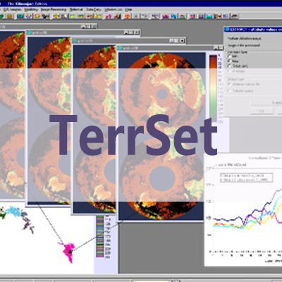
The IDRISI GIS Analysis system offers a wide range of fundamental analytical tools for GIS analysis, primarily oriented to raster data. Special features of the GIS Analysis tool set include a suite of multi-criteria and multi-objective decision procedures and a broad range of tools for statistical, change and surface analysis.

A new PANSHARPEN module that offers both an Intensity-Hue-Saturation (HIS) model and a Hyperspherical Color Sharpening (HCS) model.
SUBSAMPLE – a procedure for sub-sampling training data, including the creation of balanced samples where each class has an equal sized sample.

Post-classification image editing options have also been added to the DIGITIZE menu. These facilitate the manual cleanup of classification by direct digitization, or by using the intersection of a digitized feature and a mask or masked class.
LANDSAT_UPSAMPLE – a module for the upsampling of LANDSAT 7 and 8 bands where pansharpening is not possible. The procedure is designed to honor the original values as closely as possible.

TerrSet offers the most extensive set of geospatial tools in the industry in a single, affordable package. There is no need to buy costly add-ons to extend your research capabilities.
科学软件网专注提供正版软件,跟上百家软件开发商有紧密合作,价格优惠,的和培训服务。
http://turntech8843.b2b168.com